Geological and geophysical studies of the Agoudal impact structure (Central High Atlas, Morocco): New evidence for crater size and age
Houda El Kerni, Hasnaa Chennaoui Aoudjehane, David Baratoux, Mohammed Aoudjehane, André Charrière, Hassan Ibouh, Pierre Rochette, Yoann Quesnel, Minoru Uehara, Thomas Kenkmann, Gerwin Wulf, Michael Poelchau, Van Binh Nguyen, Maria Aboulahris, Samira Makhoukhi, Georges Aumaître, Didier Bourlès, Karim Keddadouche
Meteoritics & Planetary Science
First Published: 14 July 2019
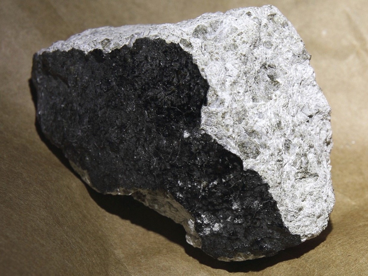
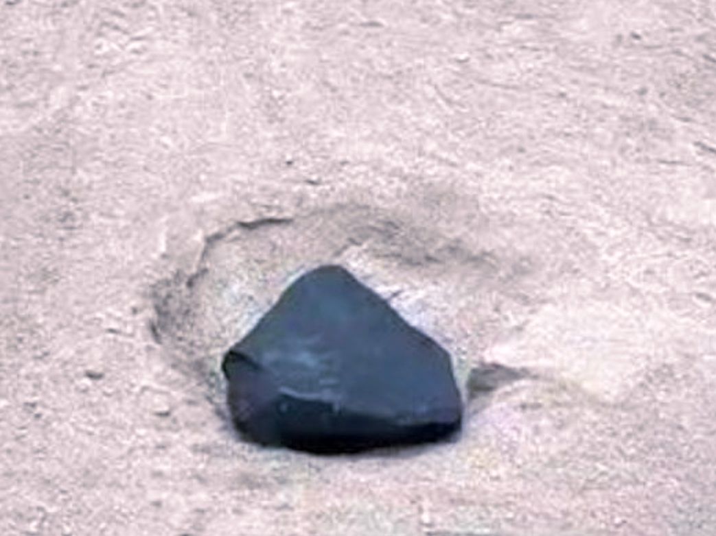
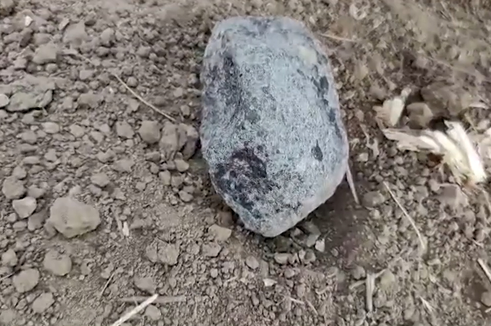
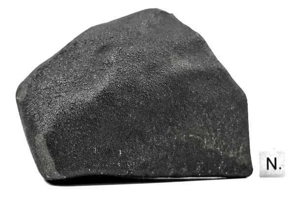
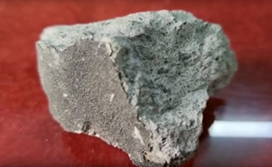
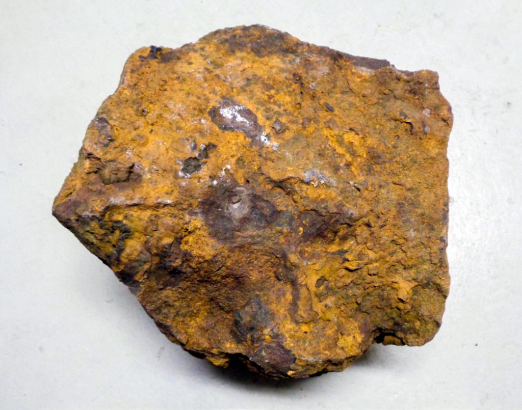
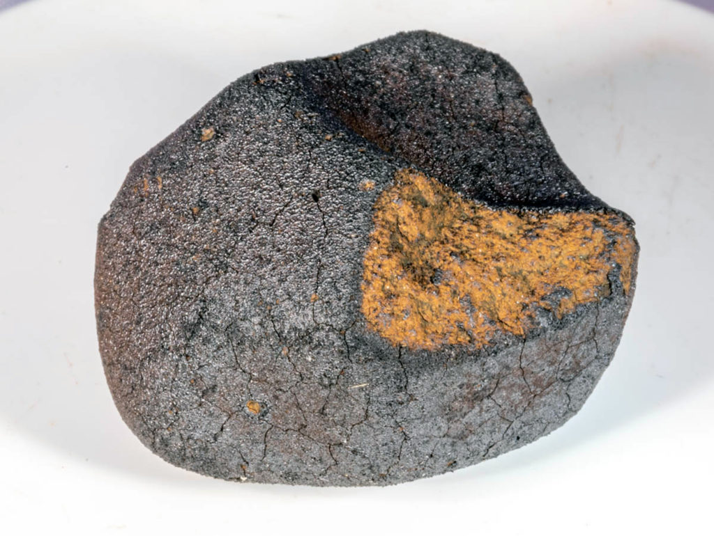
“Since the discovery of shatter cones (SCs) near the village of Agoudal (Morocco, Central High Atlas Mountains) in 2013, the absence of one or several associated circular structures led to speculation about the age of the impact event, the number, and the size of the impact crater or craters. Additional constraints on the crater size, age, and erosion rates are obtained here from geological, structural, and geophysical mapping and from cosmogenic nuclide data. Our geological maps of the Agoudal impact site at the scales of 1:30,000 (6 km2) and 1:15,000 (2.25 km2) include all known occurrences of SCs in target rocks, breccias, and vertical to overturned strata. Considering that strata surrounding the impact site are subhorizontal, we argue that disturbed strata are related to the impact event. Three types of breccias have been observed. Two of them (br1‐2 and br2) could be produced by erosion–sedimentation–consolidation processes, with no evidence for impact breccias, while breccia (br1) might be impact related. The most probable center of the structure is estimated at 31°59′13.73ʺN, 5°30′55.14ʺW using the concentric deviation method applied to the orientation of strata over the disturbed area. Despite the absence of a morphological expression, the ground magnetic and electromagnetic surveys reveal anomalies spatially associated with disturbed strata and SC occurrences. The geophysical data, the structural observations, and the area of occurrence of SCs in target rocks are all consistent with an original size of 1.4–4.2 km in diameter. Cosmogenic nuclide data (36Cl) constrain the local erosion rates between 220 ± 22 m Ma−1 and 430 ± 43 m Ma−1. These erosion rates may remove the topographic expression of such a crater and its ejecta in a time period of about 0.3–1.9 Ma. This age is older than the Agoudal iron meteorite age (105 ± 40 kyr). This new age constraint excludes the possibility of a genetic relationship between the Agoudal iron meteorite fall and the formation of the Agoudal impact site. A chronology chart including the Atlas orogeny, the alternation of sedimentation and erosion periods, and the meteoritic impacts is presented based on all obtained and combined data.”